

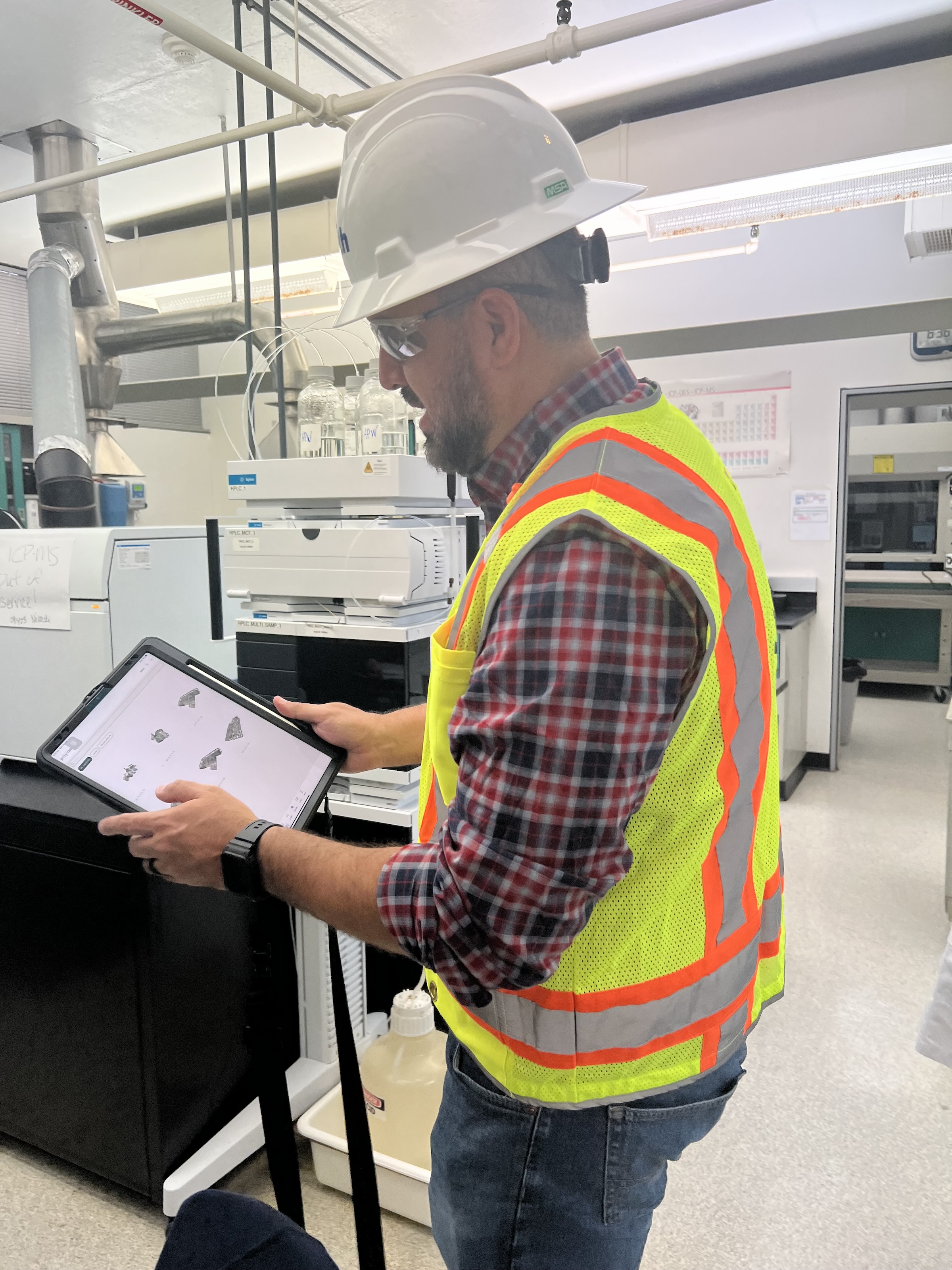
 in Virginia Beach, Va., used LIDAR and BIM technology to develop precise building and equipment data for a planned expansion of its Central Environmental Laboratory. Photo courtesy CDM Smith")
In the world of architecture and engineering, laboratory buildings are among the most complex buildings to design, plan, and document. Traditional methods rely on the use of photographs, hand drawings, or notes to document not only the building but also the equipment that makes up a laboratory. This makes the process difficult, tedious, time consuming, and even allows for documentation errors.
Currently, the most advanced state-of-the-art technology is combining Light Detection and Ranging (LIDAR) technology with Building Information Modeling (BIM) technology. LIDAR is a remote sensing method that uses light in the form of a pulsed laser to measure ranges to Earth. BIM is workflow process software used to model and optimize projects.
The latest LIDAR technology is available in the current version of hand-held devices that are used for field documentation. These devices come equipped with a very reliable LIDAR scanner, which allows one to easily document and scan in a point cloud all the existing conditions of the building like its space, function, and mechanical, electrical, and plumbing (MEP) needs.
Following the LIDAR scan, advanced software is deployed to transfer the data into a point cloud. This serves as a reliable reference to take measurements, to know where equipment is, and what its MEP needs are. Once in the point cloud, it is then exported into Autodesk ReCap Pro, and later to Autodesk Revit, which are BIM solutions.
Here it is not only inserted into the point cloud to corroborate measurements, locations and needs. It is also with the use of BIM technology and the use of special equipment families, that the foundations for the use of 7D Management of the laboratory equipment and MEP items can be developed into a 7D BIM Model.
A digital twin, which is a digital representation of a physical object or process in a digital version of its environment, can also be developed from this point. Digital twins can help an organization simulate real situations and their outcomes, ultimately allowing it to make better decisions.
LIDAR and BIM technology for building data collection
LIDAR and BIM technology such as Revit allows the existing conditions captured on site to be preserved in the digital model, allowing for measurements, orientation to aspects of the model, etc. without having to be physically on site, and more importantly, to have an orientation as to where each piece of equipment is and what the MEP needs are.
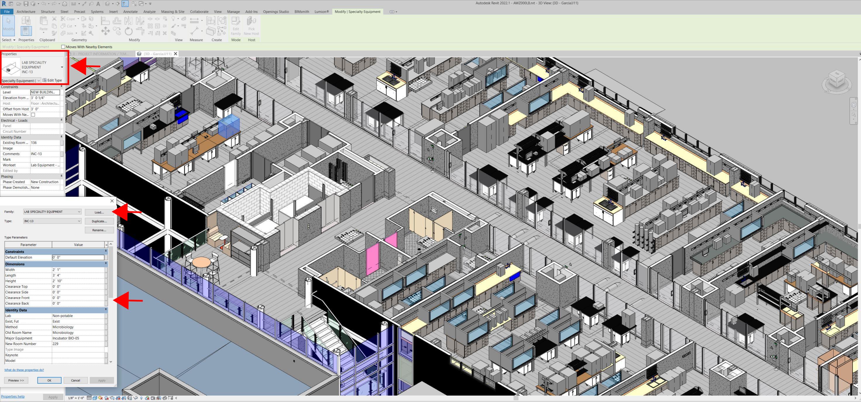
Even for any highly experienced architect or BIM modeler, just using photographs or hand drawings can be overwhelming and very complicated. Using this process, the Revit model serves as a replica of the existing conditions of each space and equipment. During a building expansion, being able to compare existing equipment in the new space is more accurate and easier to understand.
For example, Hampton Roads Sanitation District (HRSD) in Virginia Beach, Va., used LIDAR and BIM technology to develop precise building and equipment data for a planned expansion of its Central Environmental Laboratory.
The process involved meticulously scanning each space relevant to the project. This comprehensive scan aimed to capture every corner accurately. Following the scanning phase, the data was processed, generating a point cloud in ReCap Pro format. With the point cloud, we harnessed the advantages of LIDAR technology such as digitally acquiring existing conditions of the building and equipment, essentially providing a virtual on-site experience with just a click, eliminating the need for physical site visits.
This technology has enabled us to create detailed digital 3D families for every existing piece of equipment and its needs, as well as to capture more accurate existing conditions for the building. In the past, our approach relied solely on on-site measurements and photographs, leading to continuous errors and laborious, time-consuming tasks.
The previous method also necessitated numerous site visits for data verification. The implementation of this advanced technology and streamlined process has not only saved time and money but has also significantly enhanced our efficiency. For instance, all of that work required in the past to digitally model from notes, photographs, existing building plans, etc. has been condensed to the import and refinement of the point cloud data into the modeling environment.
Related Stories

AEC Tech | Apr 13, 2022
A robot automates elevator installation
Schindler—which manufactures and installs elevators, escalators, and moving walkways—has created a robot called R.I.S.E. (robotic installation system for elevators) to help install lifts in high-rise buildings.
Hotel Facilities | Apr 12, 2022
A virtual hotel to open in the metaverse
A brand of affordable luxury hotels that launched in 2008, citizenM has announced it will purchase a digital land site in The Sandbox, a virtual game world owned by Animoca Brands.

Modular Building | Mar 31, 2022
Rick Murdock’s dream multifamily housing factory
Modular housing leader Rick Murdock had a vision: Why not use robotic systems to automate the production of affordable modular housing? Now that vision is a reality.
AEC Tech Innovation | Mar 9, 2022
Meet Emerge: WSP USA's new AEC tech incubator
Pooja Jain, WSP’s VP-Strategic Innovation, discusses the pilot programs her firm’s new incubator, Emerge, has initiated with four tech startup companies. Jain speaks with BD+C's John Caulfield about the four AEC tech firms to join Cohort 1 of the firm’s incubator.

AEC Tech | Feb 11, 2022
Trimble Dimensions+ 2022 Call for Speakers Now Open
Trimble has opened its Call for Speakers for the Trimble Dimensions+ 2022 User Conference, which will be held November 7-9 at the Venetian Resort in Las Vegas.
Coronavirus | Jan 20, 2022
Advances and challenges in improving indoor air quality in commercial buildings
Michael Dreidger, CEO of IAQ tech startup Airsset speaks with BD+C's John Caulfield about how building owners and property managers can improve their buildings' air quality.
Architects | Dec 20, 2021
Digital nomads are influencing design
As our spaces continue to adapt to our future needs, we’ll likely see more collaborative, communal zones where people can relax, shop, and work.
AEC Tech | Dec 16, 2021
Autodesk to Acquire Cloud Based Estimating Company ProEst
Autodesk, Inc. is acquiring ProEst, a cloud-based estimating solution that enables construction teams to create estimates, perform digital takeoffs, generate detailed reports and proposals and manage bid-day processes. Autodesk plans to integrate ProEst with Autodesk Construction Cloud, a comprehensive construction management platform connecting teams, data and workflows across the entire building lifecycle.
Urban Planning | Dec 15, 2021
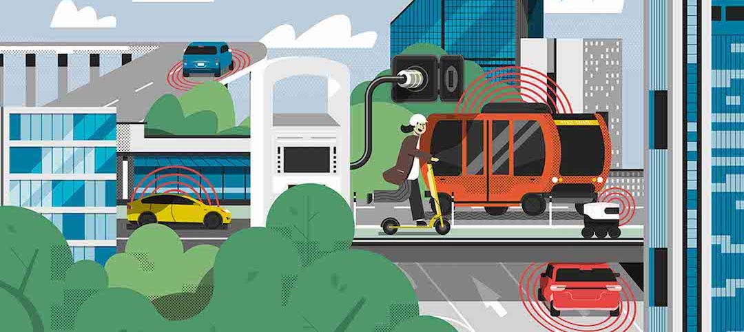
EV is the bridge to transit’s AV revolution—and now is the time to start building it
Thinking holistically about a technology-enabled customer experience will make transit a mode of choice for more people.
Designers / Specifiers / Landscape Architects | Nov 16, 2021
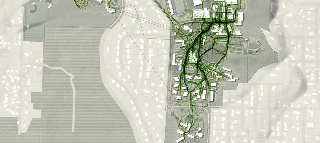
‘Desire paths’ and college campus design
If a campus is not as efficient as it could be, end users will use their feet to let designers know about it.


